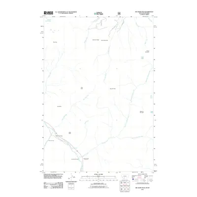
2011 Map of Big Horn Peak
USGS Topo · Published 2011About this map
The Gallatin River flows through this high-altitude landscape along the western edge of the quadrangle, where modern infrastructure meets the remnants of industrial history. At the southern end, the Apex/Black Butte Mine is situated near the Specimen Creek Campground, marking a point of transition between historical mineral extraction and recreational use. The terrain is defined by prominent summits and ridges, including Big Horn Peak, Specimen Ridge, and Canary Bird Peak, which dominate the central and northern elevations.
Find a feature on this map
29 named features on this map. Tap any name to fly to it.
Don’t see what you’re looking for? This feature index may not catch every label — zoom into the map to look around manually.
Map Details
Editions of this 2011 Big Horn Peak Map
This is the sole edition of this map. No revisions or reprints were ever made.
Other maps of this area

1885 · Gallatin
USGS Topo · 1:125,000

1885 · Gallatin
USGS Topo · 1:125,000

1888 · Three Forks
USGS Topo · 1:250,000

1891 · Livingston
USGS Topo · 1:250,000

1893 · Livingston
USGS Topo · 1:250,000

1894 · Three Forks
USGS Topo · 1:250,000

1895 · Three Forks
USGS Topo · 1:250,000

1901 · Gallatin
USGS Topo · 1:125,000

1908 · Gallatin
USGS Topo · 1:125,000

1911 · Gallatin
USGS Topo · 1:125,000