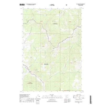
2020 Map of Big Horn Peak
USGS Topo · Published 2020About this map
Yellowstone National Park and the Gallatin National Forest meet at this high-altitude mountain boundary between Montana and Wyoming. The terrain is defined by the sharp elevations of the Gallatin Range, where peaks like Big Horn Peak, Meldrum Mtn, and the distinctive Lava Butte overlook a complex network of glacial cirques and drainages. The Gallatin River flows through the southwestern corner, paralleled by US Highway 191 and crossed by the Black Butte Bridge.
Find a feature on this map
53 named features on this map. Tap any name to fly to it.
Don’t see what you’re looking for? This feature index may not catch every label — zoom into the map to look around manually.
Map Details
Editions of this 2020 Big Horn Peak Map
This is the sole edition of this map. No revisions or reprints were ever made.
Other maps of this area

1885 · Gallatin
USGS Topo · 1:125,000

1885 · Gallatin
USGS Topo · 1:125,000

1888 · Three Forks
USGS Topo · 1:250,000

1891 · Livingston
USGS Topo · 1:250,000

1893 · Livingston
USGS Topo · 1:250,000

1894 · Three Forks
USGS Topo · 1:250,000

1895 · Three Forks
USGS Topo · 1:250,000

1901 · Gallatin
USGS Topo · 1:125,000

1908 · Gallatin
USGS Topo · 1:125,000

1911 · Gallatin
USGS Topo · 1:125,000