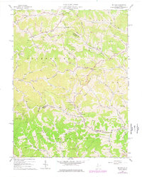
1964 Map of Big Isaac
USGS Topo · Published 1977About this map
Big Isaac serves as a central point in this mid-century look at the borderlands of Doddridge, Harrison, and Lewis counties. The landscape is defined by its dendritic drainage patterns, with settlements like Zinnia, Miletus, and Benson established along the narrow valley floors of Buckeye Creek and Kincheloe Creek. An extensive network of pipelines and numerous oil and gas wells indicate the region's long-standing reliance on resource extraction, punctuated by infrastructure like the Compressor Station near Tanner Fork.
Find a feature on this map
62 named features on this map. Tap any name to fly to it.
Don’t see what you’re looking for? This feature index may not catch every label — zoom into the map to look around manually.
Map Details
Editions of this 1964 Big Isaac Map
2 editions found
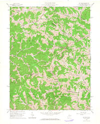
Other maps of this area

1902 · Clarksburg
USGS Topo · 1:62,500

1904 · Weston
USGS Topo · 1:62,500

1904 · Vadis
USGS Topo · 1:62,500

1905 · Centerpoint
USGS Topo · 1:62,500

1910 · Clarksburg
USGS Topo · 1:62,500

1923 · Clarksburg
USGS Topo · 1:62,500

1924 · Centerpoint
USGS Topo · 1:62,500

1925 · Clarksburg
USGS Topo · 1:62,500

1925 · Centerpoint
USGS Topo · 1:62,500

1925 · Vadis
USGS Topo · 1:62,500