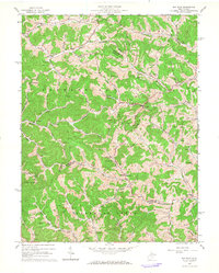
1964 Map of Big Isaac
USGS Topo · Published 1966About this map
Big Isaac sits at the center of this 1960s survey, marking a landscape defined by its deep drainages and rural crossroads at the intersection of Harrison, Doddridge, and Lewis counties. The settlement pattern follows the winding hollows of Meathouse Fork and Big Isaac Creek, where small communities like Miletus, Zinnia, and Kincheloe are anchored by local institutions such as Morris Chapel and Greenbrier Sch.
Find a feature on this map
58 named features on this map. Tap any name to fly to it.
Don’t see what you’re looking for? This feature index may not catch every label — zoom into the map to look around manually.
Map Details
Editions of this 1964 Big Isaac Map
2 editions found
Other maps of this area

1902 · Clarksburg
USGS Topo · 1:62,500

1904 · Weston
USGS Topo · 1:62,500

1904 · Vadis
USGS Topo · 1:62,500

1905 · Centerpoint
USGS Topo · 1:62,500

1910 · Clarksburg
USGS Topo · 1:62,500

1923 · Clarksburg
USGS Topo · 1:62,500

1924 · Centerpoint
USGS Topo · 1:62,500

1925 · Clarksburg
USGS Topo · 1:62,500

1925 · Centerpoint
USGS Topo · 1:62,500

1925 · Vadis
USGS Topo · 1:62,500