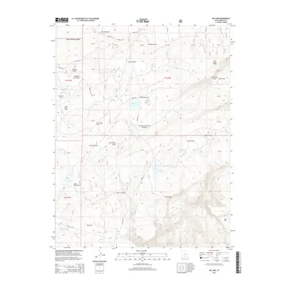
2014 Map of Big Lake
USGS Topo · Published 2014About this map
The high-altitude terrain of the Dixie National Forest defines this region, where the Awapa Plateau meets the northern reaches of the Aquarius Plateau. This 2014 survey documents a landscape dominated by complex drainage systems and high-elevation flats, such as Rockwell Flat and Davis Flat. Water management is central to the area's geography, evidenced by several scattered catchments including Rockwell Reservoir, Roundy Reservoir, and the Indian Spring Reservoir.
Find a feature on this map
55 named features on this map. Tap any name to fly to it.
Don’t see what you’re looking for? This feature index may not catch every label — zoom into the map to look around manually.
Map Details
Editions of this 2014 Big Lake Map
This is the sole edition of this map. No revisions or reprints were ever made.
Other maps of this area

1885 · Fish Lake
USGS Topo · 1:250,000

1886 · Escalante
USGS Topo · 1:250,000

1896 · Fish Lake
USGS Topo · 1:250,000

1953 · Loa 4 NE
USGS Topo · 1:24,000

1956 · Escalante
USGS Topo · 1:250,000

1956 · Salina
USGS Topo · 1:250,000

1960 · Escalante
USGS Topo · 1:250,000

1960 · Salina
USGS Topo · 1:250,000

1962 · Salina
USGS Topo · 1:250,000

1964 · Barker Reservoir
USGS Topo · 1:24,000