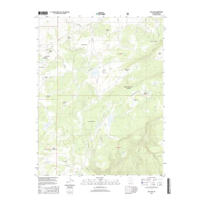
2017 Map of Big Lake
USGS Topo · Published 2017About this map
The high alpine tablelands of the Awapa Plateau and Aquarius Plateau dominate this 2017 survey of Garfield County. This remote landscape within the Dixie National Forest is defined by its seasonal water sources and recreational corridors, with a network of Forest Service roads such as Forest Rd 154 and Forest Rd 157 providing access to the high-elevation terrain. Named water bodies like the central Big Lake, Roundy Reservoir, and Indian Spring Reservoir serve as vital landmarks for modern recreational users and livestock management alike.
Find a feature on this map
48 named features on this map. Tap any name to fly to it.
Don’t see what you’re looking for? This feature index may not catch every label — zoom into the map to look around manually.
Map Details
Editions of this 2017 Big Lake Map
This is the sole edition of this map. No revisions or reprints were ever made.
Other maps of this area

1885 · Fish Lake
USGS Topo · 1:250,000

1886 · Escalante
USGS Topo · 1:250,000

1896 · Fish Lake
USGS Topo · 1:250,000

1953 · Loa 4 NE
USGS Topo · 1:24,000

1956 · Escalante
USGS Topo · 1:250,000

1956 · Salina
USGS Topo · 1:250,000

1960 · Escalante
USGS Topo · 1:250,000

1960 · Salina
USGS Topo · 1:250,000

1962 · Salina
USGS Topo · 1:250,000

1964 · Barker Reservoir
USGS Topo · 1:24,000