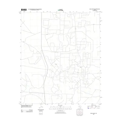
2012 Map of Big Lake SW
USGS Topo · Published 2012About this map
Industrial energy production and sparse rural transit networks define this corner of Crockett County in the early 2010s. The landscape is heavily marked by the petroleum industry, with extensive operations at the Weger Oil Field and the Farmer Oil Field necessitating a dense web of service roads. These private and county routes, including Friend Rd and Co Rd 135, create a geometric grid across the arid terrain. Unlike more settled regions, this area lacks named towns or community centers, focusing instead on the resource extraction that drives the local economy. The network of secondary roads such as Co Rd 205 and O7 Rd provides a detailed look at the infrastructure required to maintain these sprawling oil fields in West Texas.
Find a feature on this map
7 named features on this map. Tap any name to fly to it.
Don’t see what you’re looking for? This feature index may not catch every label — zoom into the map to look around manually.
Map Details
Editions of this 2012 Big Lake SW Map
This is the sole edition of this map. No revisions or reprints were ever made.
Other maps of this area

1920 · Big Lake
USGS Topo · 1:62,500

1922 · Big Lake
USGS Topo · 1:62,500

1928 · Rankin
USGS Topo · 1:125,000

1929 · Sheffield
USGS Topo · 1:125,000

1954 · Sonora
USGS Topo · 1:250,000

1954 · San Angelo
USGS Topo · 1:250,000

1958 · Sonora
USGS Topo · 1:250,000

1958 · San Angelo
USGS Topo · 1:250,000

1965 · San Angelo
USGS Topo · 1:250,000

1967 · Owens Creek NE
USGS Topo · 1:24,000