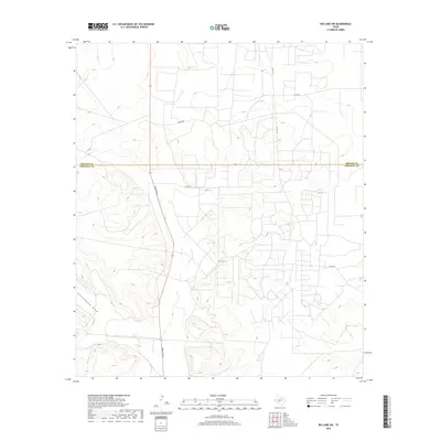
2019 Map of Big Lake SW
USGS Topo · Published 2019About this map
Schneemann Draw winds through the southwestern corner of this landscape, marking a prominent natural drainage feature in this part of the Permian Basin. The map illustrates a network of rural routes that serve the region's ranching and energy interests, centered around the north-south artery of Ranch Rd 33. This primary road connects a web of local tracks and county identifiers, including Friend Rd, Chico Ln, and Co Rd 10. The survey area straddles the boundary between Reagan and Crockett counties, showing a high concentration of unnamed access roads and property divisions characteristic of modern West Texas resource management. Topographic contours reveal a series of subtle ridges and dry draws that define the local hydrology, providing a clear view of the land's elevation and drainage patterns just before the end of the decade.
Find a feature on this map
9 named features on this map. Tap any name to fly to it.
Don’t see what you’re looking for? This feature index may not catch every label — zoom into the map to look around manually.
Map Details
Editions of this 2019 Big Lake SW Map
This is the sole edition of this map. No revisions or reprints were ever made.
Other maps of this area

1920 · Big Lake
USGS Topo · 1:62,500

1922 · Big Lake
USGS Topo · 1:62,500

1928 · Rankin
USGS Topo · 1:125,000

1929 · Sheffield
USGS Topo · 1:125,000

1954 · Sonora
USGS Topo · 1:250,000

1954 · San Angelo
USGS Topo · 1:250,000

1958 · Sonora
USGS Topo · 1:250,000

1958 · San Angelo
USGS Topo · 1:250,000

1965 · San Angelo
USGS Topo · 1:250,000

1967 · Owens Creek NE
USGS Topo · 1:24,000