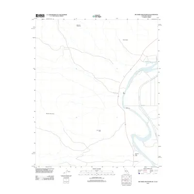
2012 Map of Big Maria Mountains NE
USGS Topo · Published 2012About this map
The Colorado River defines the eastern boundary of this desert landscape, winding past the residential outpost of Water Wheel Camp and the riparian contours of Barrie Island. This 2012 survey illustrates the stark contrast between the low-lying river valley and the surrounding arid uplands, where the Big Maria Mountains and Riverside Mountains rise above the drainage basins of Big Wash and Slaughter Tree Wash. This area serves as a critical corridor between California and Arizona, with transport routes like Blythe Vidal Rd and Indian Rte 29 threading through the topography.
Find a feature on this map
14 named features on this map. Tap any name to fly to it.
Don’t see what you’re looking for? This feature index may not catch every label — zoom into the map to look around manually.
Map Details
Editions of this 2012 Big Maria Mountains NE Map
This is the sole edition of this map. No revisions or reprints were ever made.
Other maps of this area

1911 · Parker
USGS Topo · 1:125,000

1931 · Moon Mtn
USGS Topo · 1:62,500

1932 · Moon Mtn
USGS Topo · 1:62,500

1942 · Blythe
USGS Topo · 1:250,000

1942 · MOON MTN
USGS Topo · 1:62,500

1943 · Parker
USGS Topo · 1:62,500

1943 · Vidal
USGS Topo · 1:62,500

1945 · Big Maria Mtns
USGS Topo · 1:62,500

1949 · Parker
USGS Topo · 1:62,500

1949 · Vidal
USGS Topo · 1:62,500