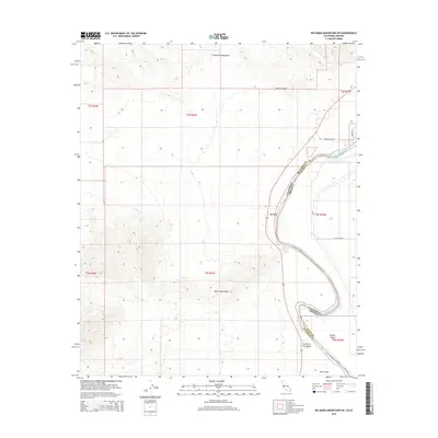
2015 Map of Big Maria Mountains NE
USGS Topo · Published 2015About this map
The Colorado River carves a dramatic boundary through this desert landscape, separating the rugged elevations of the Riverside Mountains in California from the alluvial plains of Parker Valley in Arizona. This 2015 survey captures the transition from high-relief terrain at Quien Sabe Point to the riparian bottomlands where geographic features like Barrie Island and Hall Island define the river's path. While the western portion of the map is dominated by mountain slopes, the eastern side shows the beginnings of local infrastructure with roads such as Hidden Valley Rd and N Peterson Rd. The drainage patterns of the area are clearly marked by the prominent Big Wash and the distinctively named Slaughter Tree Wash, providing a clear look at how water shapes this arid border region.
Find a feature on this map
20 named features on this map. Tap any name to fly to it.
Don’t see what you’re looking for? This feature index may not catch every label — zoom into the map to look around manually.
Map Details
Editions of this 2015 Big Maria Mountains NE Map
This is the sole edition of this map. No revisions or reprints were ever made.
Other maps of this area

1911 · Parker
USGS Topo · 1:125,000

1931 · Moon Mtn
USGS Topo · 1:62,500

1932 · Moon Mtn
USGS Topo · 1:62,500

1942 · Blythe
USGS Topo · 1:250,000

1942 · MOON MTN
USGS Topo · 1:62,500

1943 · Parker
USGS Topo · 1:62,500

1943 · Vidal
USGS Topo · 1:62,500

1945 · Big Maria Mtns
USGS Topo · 1:62,500

1949 · Parker
USGS Topo · 1:62,500

1949 · Vidal
USGS Topo · 1:62,500