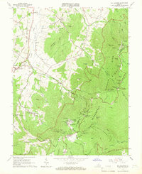
1965 Map of Big Meadows
USGS Topo · Published 1966About this map
Shenandoah National Park dominates the eastern half of this 1965 survey, where the winding Skyline Drive and the Appalachian Trail trace the high crests of the Blue Ridge. This mid-century view shows the park's developed recreational landscape, including Skyland, the Big Meadows Campground, and numerous overlooks like Spitler Knoll Overlook. The terrain is defined by dramatic peaks and gaps such as Hawksbill, Stony Mtn, and Fishers Gap, while the western lowlands in Page County reveal a contrasting pattern of rural settlement. Here, the Norfolk and Western railroad runs through the valley, connecting the communities of Stanley and Marksville. Local history is preserved in the numerous family cemeteries and country churches scattered through the hollows, such as Mt Carmel Ch and St Georges Ch, reflecting the heritage of families who lived in these ridges before and after the park's establishment.
Find a feature on this map
103 named features on this map. Tap any name to fly to it.
Don’t see what you’re looking for? This feature index may not catch every label — zoom into the map to look around manually.
Map Details
Editions of this 1965 Big Meadows Map
4 editions found
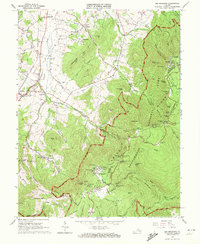
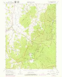
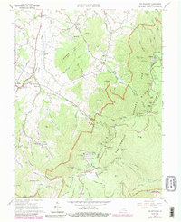
Other maps of this area

1892 · Woodstock
USGS Topo · 1:125,000

1892 · Gordonsville
USGS Topo · 1:125,000

1892 · Harrisonburg
USGS Topo · 1:125,000

1893 · Luray
USGS Topo · 1:125,000

1905 · Luray
USGS Topo · 1:125,000

1929 · Stony Man
USGS Topo · 1:48,000

1930 · Madison
USGS Topo · 1:48,000

1933 · Stony Man
USGS Topo · 1:62,500

1933 · Madison
USGS Topo · 1:62,500

1937 · Elkton
USGS Topo · 1:62,500