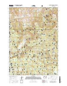
2017 Map of Big Mowich Mountain
USGS Topo · Published 2017About this map
Big Mowich Mountain and the surrounding high country of the Ochoco National Forest dominate this high-altitude landscape. The terrain is defined by a dense network of springs and seasonal drainages that feed into major waterways like Silver Creek and the South Fork Beaver Creek. Geologic features such as Robertson Ridge and Little Mowich Mountain are carved by these numerous water sources, including the curiously named Sinking Spring and Whistle Spring.
Find a feature on this map
83 named features on this map. Tap any name to fly to it.
Don’t see what you’re looking for? This feature index may not catch every label — zoom into the map to look around manually.
Map Details
Editions of this 2017 Big Mowich Mountain Map
This is the sole edition of this map. No revisions or reprints were ever made.
Other maps of this area

1932 · Dayville
USGS Topo · 1:125,000

1936 · Dayville
USGS Topo · 1:125,000

1955 · Burns
USGS Topo · 1:250,000

1955 · Canyon City
USGS Topo · 1:250,000

1958 · Burns
USGS Topo · 1:250,000

1959 · Burns
USGS Topo · 1:250,000

1959 · Canyon City
USGS Topo · 1:250,000

1959 · Sawtooth Creek
USGS Topo · 1:62,500

1961 · Delintment Lake
USGS Topo · 1:62,500

1961 · Izee
USGS Topo · 1:62,500