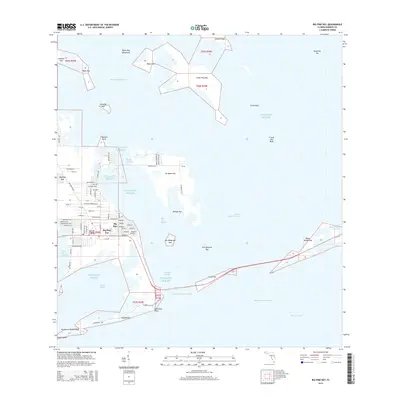
2015 Map of Big Pine Key
USGS Topo · Published 2015About this map
Big Pine Key serves as the focal point of this Lower Keys survey, illustrating the dense residential platting that contrasts with the surrounding protected environments. The island's geography is defined by a network of local thoroughfares such as Watson Blvd and Key Deer Blvd, stretching toward the southern shoreline at Long Beach. This coastal landscape is a complex archipelago including No Name Key, Little Pine Key, and the Newfound Harbor Keys, all separated by a maze of tidal passages like Bogie Channel and Spanish Harbor.
Find a feature on this map
80 named features on this map. Tap any name to fly to it.
Don’t see what you’re looking for? This feature index may not catch every label — zoom into the map to look around manually.
Map Details
Editions of this 2015 Big Pine Key Map
This is the sole edition of this map. No revisions or reprints were ever made.
Other maps of this area

1972 · Big Pine Key
USGS Topo · 1:24,000

1972 · East Bahia Honda Key
USGS Topo · 1:24,000

1972 · Loggerhead Key
USGS Topo · 1:24,000

1972 · Horseshoe Keys
USGS Topo · 1:24,000

1972 · Content Keys
USGS Topo · 1:24,000

1972 · Sevenmile Bridge
USGS Topo · 1:24,000

1972 · Summerland Key
USGS Topo · 1:24,000

1983 · Key West
USGS Topo · 1:100,000

1989 · Key West
USGS Topo · 1:250,000
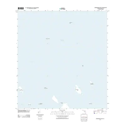
2012 · Horseshoe Keys
USGS Topo · 1:24,000