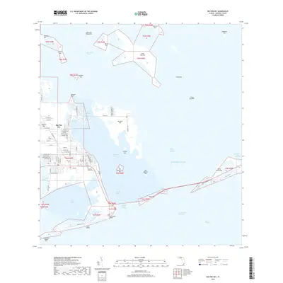
2018 Map of Big Pine Key
USGS Topo · Published 2018About this map
Big Pine Key serves as the focal point for this 2018 survey, revealing a landscape defined by an intricate network of islands and protected waterways. The residential development is concentrated on the western half of the key, featuring local streets such as Watson Blvd and Key Deer Blvd. To the east and north, the terrain transitions into a more primitive maritime environment, comprising dozens of smaller landmasses like No Name Key, Little Pine Key, and Water Key Mangroves. The map details the vital transportation corridor connecting the keys via the Overseas Highway, crossing Spanish Harbor and Bahia Honda Channel. Notable landmarks for researchers include the Memorial Gardens Cem and the coastal stretch of Long Beach. This modern topographic study illuminates the delicate balance between the growing settlement of Big Pine Key and the surrounding wilderness of Coupon Bight and the Refuge Key.
Find a feature on this map
81 named features on this map. Tap any name to fly to it.
Don’t see what you’re looking for? This feature index may not catch every label — zoom into the map to look around manually.
Map Details
Editions of this 2018 Big Pine Key Map
This is the sole edition of this map. No revisions or reprints were ever made.
Other maps of this area

1972 · Big Pine Key
USGS Topo · 1:24,000

1972 · East Bahia Honda Key
USGS Topo · 1:24,000

1972 · Loggerhead Key
USGS Topo · 1:24,000

1972 · Horseshoe Keys
USGS Topo · 1:24,000

1972 · Content Keys
USGS Topo · 1:24,000

1972 · Sevenmile Bridge
USGS Topo · 1:24,000

1972 · Summerland Key
USGS Topo · 1:24,000

1983 · Key West
USGS Topo · 1:100,000

1989 · Key West
USGS Topo · 1:250,000
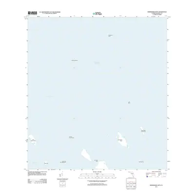
2012 · Horseshoe Keys
USGS Topo · 1:24,000