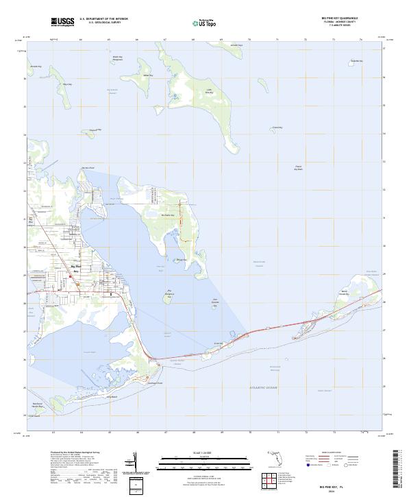
2024 Map of Big Pine Key
USGS Topo · Published 2024About this map
Big Pine Key serves as the central hub of this island chain, where residential development and conservation efforts coexist. The map shows an intricate network of local roads including Watson Rd, Key Deer Blvd, and several numbered avenues that grid the primary settlement. This area is a critical junction for the National Key Deer Refuge, which spans much of the land and surrounding mangroves, alongside the Florida Keys Wilderness.
Find a feature on this map
78 named features on this map. Tap any name to fly to it.
Don’t see what you’re looking for? This feature index may not catch every label — zoom into the map to look around manually.
Map Details
Editions of this 2024 Big Pine Key Map
This is the sole edition of this map. No revisions or reprints were ever made.
Other maps of this area

1972 · Big Pine Key
USGS Topo · 1:24,000

1972 · East Bahia Honda Key
USGS Topo · 1:24,000

1972 · Loggerhead Key
USGS Topo · 1:24,000

1972 · Horseshoe Keys
USGS Topo · 1:24,000

1972 · Content Keys
USGS Topo · 1:24,000

1972 · Sevenmile Bridge
USGS Topo · 1:24,000

1972 · Summerland Key
USGS Topo · 1:24,000

1983 · Key West
USGS Topo · 1:100,000

1989 · Key West
USGS Topo · 1:250,000
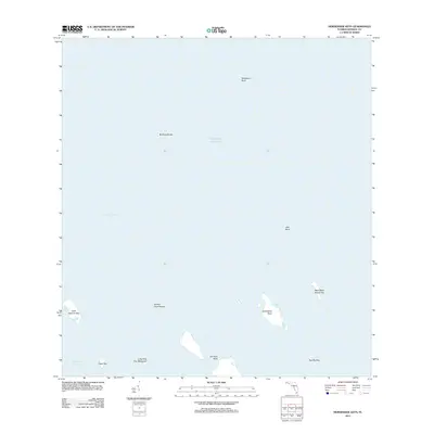
2012 · Horseshoe Keys
USGS Topo · 1:24,000