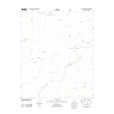
2012 Map of Big Pine Mountain
USGS Topo · Published 2012About this map
Big Pine Mountain stands as the central landmark in this high-elevation backcountry within Santa Barbara County. This 2012 survey illustrates a remote network of trails and Forest Service roads, including Big Pine Rd, which provides the primary access to the region's isolated peaks and drainage basins. The landscape is defined by the headwaters of the Sisquoc River and Indian Cr, which carve through deep canyons like Logan Canyon and Rattlesnake Canyon.
Find a feature on this map
36 named features on this map. Tap any name to fly to it.
Don’t see what you’re looking for? This feature index may not catch every label — zoom into the map to look around manually.
Map Details
Editions of this 2012 Big Pine Mountain Map
This is the sole edition of this map. No revisions or reprints were ever made.
Other maps of this area

1902 · Santa Ynez
USGS Topo · 1:125,000

1905 · Santa Ynez
USGS Topo · 1:125,000

1941 · San Rafael Mtn.
USGS Topo · 1:62,500

1941 · McPherson Peak
USGS Topo · 1:62,500

1942 · San Rafael Mtn.
USGS Topo · 1:62,500

1942 · Little Pine Mountain
USGS Topo · 1:24,000

1943 · Big Pine Mountain
USGS Topo · 1:31,680

1943 · San Rafael Mtn.
USGS Topo · 1:62,500

1943 · McPherson Peak
USGS Topo · 1:62,500

1943 · Hildreth Peak
USGS Topo · 1:24,000