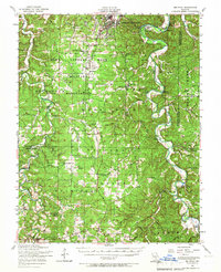
1954 Map of Big Piney
USGS Topo · Published 1967About this map
Fort Leonard Wood and its expansive military reservation dominate the northern portion of this Ozark landscape, where the Big Piney River carves a winding path through the limestone bluffs. This 1954 survey captures several rural communities and family landmarks that define the region's mid-century character, including the settlement of Bloodland and the riverside Big Piney. The map is particularly valuable for genealogists, as it locates numerous burial grounds like Bradford Cemetery and Friendship Cemetery, along with several small rural schools such as the Mooney Hollow School and the Pine Hollow School. To the south, the terrain transitions into the Mark Twain National Forest, showing a network of hollows like Musgrave Hollow and creek beds such as Roubidoux Creek that once supported timber and agrarian livelihoods before the era of modern highway development.
Find a feature on this map
70 named features on this map. Tap any name to fly to it.
Don’t see what you’re looking for? This feature index may not catch every label — zoom into the map to look around manually.
Map Details
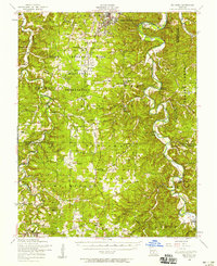
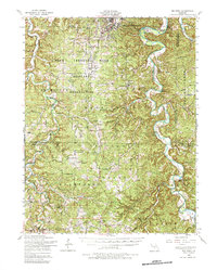
Editions of this 1954 Big Piney Map
3 editions found
Other maps of this area

1912 · Rolla
USGS Topo · 1:62,500

1931 · Manes
USGS Topo · 1:48,000

1936 · Waynesville
USGS Topo · 1:48,000

1937 · Edgar Springs
USGS Topo · 1:48,000

1941 · Big Piney
USGS Topo · 1:62,500

1941 · Manes
USGS Topo · 1:62,500

1941 · Bado
USGS Topo · 1:62,500

1942 · Waynesville
USGS Topo · 1:62,500

1943 · Richland
USGS Topo · 1:62,500

1943 · Big Piney
USGS Topo · 1:62,500