Loading...
Loading map...2024 Map of Big Rock
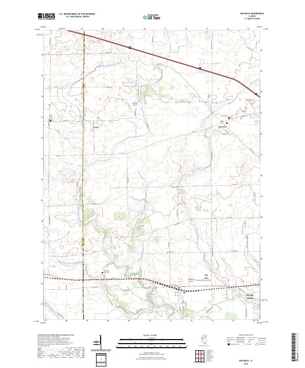
USGS Topo · Published 2024About this map
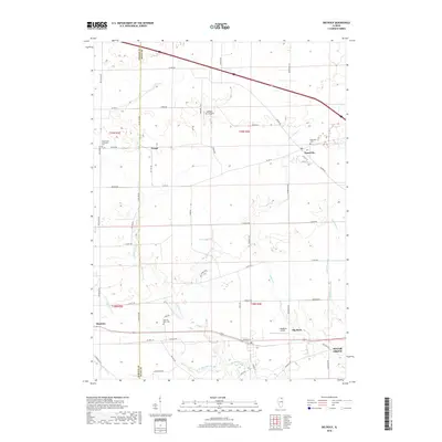
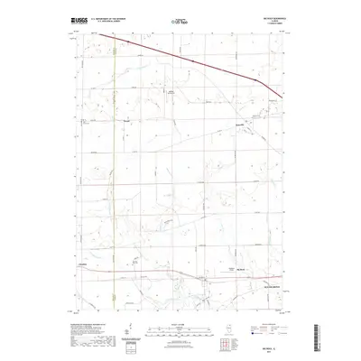
Kaneville and Big Rock serve as the primary hubs in this agricultural landscape along the border of DeKalb and Kane counties. The terrain is defined by a sophisticated drainage network essential for prairie farming, featuring named waterways like East Branch Big Rock Creek, Welch Creek, and Swan Drain. These channels weave through a grid of rural roads, including Co HWY 24 and Jericho Rd, which connect the small settlement of Troxel to the surrounding farmsteads.
Find a feature on this map
51 named features on this map. Tap any name to fly to it.
Don’t see what you’re looking for? This feature index may not catch every label — zoom into the map to look around manually.
Map Details
Date Portrayed2024
Date Published2024
PublisherU.S. Geological Survey
Map TypeTopographic
Scale1:24,000
Physical Dimensions24 x 29 inches
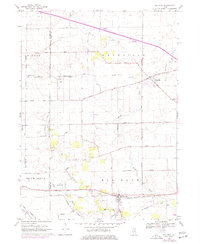
Editions of this 2024 Big Rock Map
This is the sole edition of this map. No revisions or reprints were ever made.
Historical Maps of Sugar Grove Through Time
6 maps found
Featured Locations
- Pierce Township, IL
- Sugar Grove, Sugar Grove Township
- Hinckley, Squaw Grove Township
- Kaneville, Kaneville Township
- Big Rock, Big Rock Township
Source Details
SourceU.S. Geological Survey
CopyrightPublic Domain