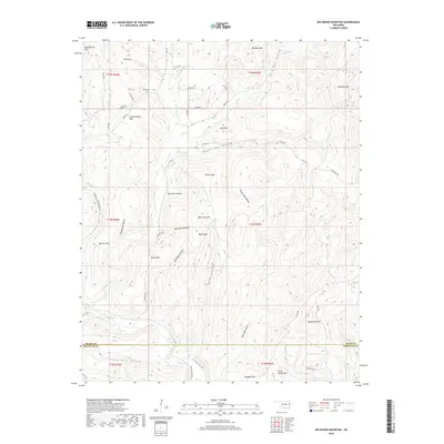
2018 Map of Big Round Mountain
USGS Topo · Published 2018About this map
Salem Cem sits near the northern boundary of this Ozark plateau landscape, accessible via Bell Rd and Preacher Ln. The terrain is characterized by a dense network of ridges and hollows, where family-named landmarks like John Watie Hollow, Sonny Gile Hollow, and Sally Bull Hollow define the local geography. These deep drainages feed into watercourses such as Deer in Water Cr and Little Lee Cr, which navigate the complex topography between prominent peaks including Doublehead Mtn and Big Round Mtn.
Find a feature on this map
60 named features on this map. Tap any name to fly to it.
Don’t see what you’re looking for? This feature index may not catch every label — zoom into the map to look around manually.
Map Details
Editions of this 2018 Big Round Mountain Map
This is the sole edition of this map. No revisions or reprints were ever made.
Other maps of this area

1898 · Winslow #3
USGS Topo · 1:62,500

1898 · Tahlequah
USGS Topo · 1:125,000

1898 · Winslow
USGS Topo · 1:125,000

1901 · Winslow
USGS Topo · 1:125,000

1901 · Tahlequah
USGS Topo · 1:125,000

1905 · Tahlequah
USGS Topo · 1:125,000

1946 · Fort Smith
USGS Topo · 1:250,000

1965 · Fort Smith
USGS Topo · 1:250,000

1967 · Fort Smith
USGS Topo · 1:250,000
1969 · Uniontown
USGS Topo · 1:24,000