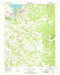
1950 Map of Big Sandy
USGS Topo · Published 1970About this map
The town of Big Sandy sits at the junction of the Louisville and Nashville railroad and the vast waters of Kentucky Lake, reflecting the engineering and industrial shifts of the mid-twentieth century. This survey, conducted by the Tennessee Valley Authority and published by the U.S. Geological Survey, details the managed landscape of the Big Sandy River Dewatering Area and the infrastructure required to support it, including a gaging and pumping station.
Find a feature on this map
53 named features on this map. Tap any name to fly to it.
Don’t see what you’re looking for? This feature index may not catch every label — zoom into the map to look around manually.
Map Details
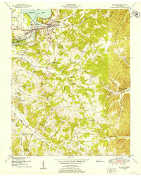
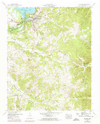
Editions of this 1950 Big Sandy Map
3 editions found
Other maps of this area

1936 · Poplar Creek
USGS Topo · 1:24,000

1936 · McKinnon
USGS Topo · 1:24,000

1936 · Camden
USGS Topo · 1:24,000

1936 · Big Sandy
USGS Topo · 1:24,000

1936 · Johnsonville
USGS Topo · 1:24,000

1936 · Bruceton
USGS Topo · 1:24,000

1936 · Harmon Creek
USGS Topo · 1:24,000

1936 · Manleyville
USGS Topo · 1:24,000

1936 · Springville
USGS Topo · 1:24,000

1938 · Springville
USGS Topo · 1:24,000