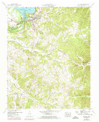
1950 Map of Big Sandy
USGS Topo · Published 1974About this map
Big Sandy sits at the junction of rail and river, where the Louisville and Nashville railroad crosses the landscape adjacent to the Kentucky Lake shoreline. The area is defined by the Big Sandy River Dewatering Area, a topographic indicator of the massive hydrological changes brought by mid-century river management. The interior hills of Benton Co are densely marked with markers of rural life, featuring numerous family-named burial grounds and houses of worship. Genealogists will find significant value in the distribution of sites like Baker Chapel Cem, Weatherly Cem, and Rushing Cem. The presence of the Sulphur Creek School and various congregations, including McRae Chapel and Luterton Church, suggests a series of small, tight-knit communities connected by an intricate network of creeks like Ramble Creek and Paffords Branch before the landscape was modernized.
Find a feature on this map
46 named features on this map. Tap any name to fly to it.
Don’t see what you’re looking for? This feature index may not catch every label — zoom into the map to look around manually.
Map Details
Editions of this 1950 Big Sandy Map
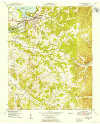
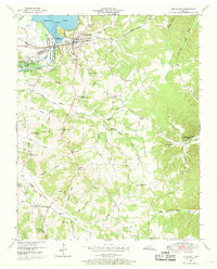
3 editions found
Other maps of this area

1936 · Poplar Creek
USGS Topo · 1:24,000

1936 · McKinnon
USGS Topo · 1:24,000

1936 · Camden
USGS Topo · 1:24,000

1936 · Big Sandy
USGS Topo · 1:24,000

1936 · Johnsonville
USGS Topo · 1:24,000

1936 · Bruceton
USGS Topo · 1:24,000

1936 · Harmon Creek
USGS Topo · 1:24,000

1936 · Manleyville
USGS Topo · 1:24,000

1936 · Springville
USGS Topo · 1:24,000

1938 · Springville
USGS Topo · 1:24,000