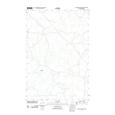
2011 Map of Big Sheep Mountain
USGS Topo · Published 2011About this map
Big Sheep Mountain anchors this high plains terrain in Prairie County, where the landscape is defined by an intricate network of seasonal drainage and prairie coulees. The map traces the dendritic patterns of West Duck Creek, East Duck Creek, and Ash Creek as they weave through the open rangeland. Transportation is centered on the corridor of Fas 253, which cuts through the northern half of the quadrangle. This area represents the expansive cattle country of eastern Montana, where water sources like Plenty Creek are vital landmarks in an otherwise sparse and open environment. The survey provides a clear view of the rural infrastructure, specifically the secondary roads and 4WD trails that connect isolated ranching outposts across the breaks.
Find a feature on this map
6 named features on this map. Tap any name to fly to it.
Don’t see what you’re looking for? This feature index may not catch every label — zoom into the map to look around manually.
Map Details
Editions of this 2011 Big Sheep Mountain Map
This is the sole edition of this map. No revisions or reprints were ever made.
Other maps of this area

1953 · Miles City
USGS Topo · 1:250,000

1954 · Glendive
USGS Topo · 1:250,000

1957 · Miles City
USGS Topo · 1:250,000

1957 · Glendive
USGS Topo · 1:250,000

1958 · Miles City
USGS Topo · 1:250,000

1958 · Glendive
USGS Topo · 1:250,000

1965 · Little Sheep Mountain
USGS Topo · 1:24,000

1965 · Watkins SE
USGS Topo · 1:24,000

1965 · Watkins
USGS Topo · 1:24,000

1972 · Mc Cloud
USGS Topo · 1:24,000