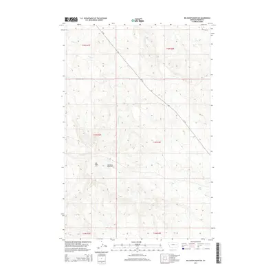
2014 Map of Big Sheep Mountain
USGS Topo · Published 2014About this map
Big Sheep Mtn and the surrounding Big Sheep Mountains define the high terrain of this portion of Prairie County. The landscape is characterized by a complex drainage network that includes W Duck Cr, E Duck Cr, and Plenty Cr, reflecting the topographic relief of the eastern Montana rangelands. Transport through these highlands is facilitated by Mt-253, which cuts diagonally across the quadrangle, alongside local routes like Cedar Creek Rd and Duck Creek Rd. This survey also documents smaller water sources essential to the local environment, such as Mud Spring and Ash Cr. The map provides a look at the township and range divisions, specifically within T16N through T14N and R47E through R48E, showing how the land was surveyed and organized for resource and land management in the early 21st century.
Find a feature on this map
16 named features on this map. Tap any name to fly to it.
Don’t see what you’re looking for? This feature index may not catch every label — zoom into the map to look around manually.
Map Details
Editions of this 2014 Big Sheep Mountain Map
This is the sole edition of this map. No revisions or reprints were ever made.
Other maps of this area

1953 · Miles City
USGS Topo · 1:250,000

1954 · Glendive
USGS Topo · 1:250,000

1957 · Miles City
USGS Topo · 1:250,000

1957 · Glendive
USGS Topo · 1:250,000

1958 · Miles City
USGS Topo · 1:250,000

1958 · Glendive
USGS Topo · 1:250,000

1965 · Little Sheep Mountain
USGS Topo · 1:24,000

1965 · Watkins SE
USGS Topo · 1:24,000

1965 · Watkins
USGS Topo · 1:24,000

1972 · Mc Cloud
USGS Topo · 1:24,000