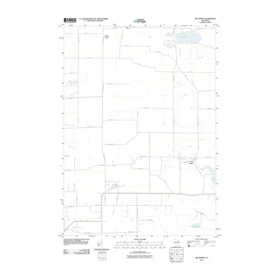
2010 Map of Big Spring
USGS Topo · Published 2010About this map
Big Spring and its surrounding countryside are defined by a network of creeks and small glacial lakes just east of the Wisconsin Dells. In this early 21st-century landscape, rural life centers on the intersection of agricultural acreage and natural water features. To the north, the curious Polish Paradise Airport sits near the small settlement of Davis Corners, highlighting the area's mix of private aviation and farming. The drainage patterns of the region are clearly visible as O'Keefe Creek flows into Jordan Lake, while Big Spring Creek leads toward Mason Lake in the east. This survey documents the grid of county highways and local lanes, such as County Hwy-G and Fur Ave, that knit together these scattered residential and recreational pockets.
Find a feature on this map
50 named features on this map. Tap any name to fly to it.
Don’t see what you’re looking for? This feature index may not catch every label — zoom into the map to look around manually.
Map Details
Editions of this 2010 Big Spring Map
This is the sole edition of this map. No revisions or reprints were ever made.
Other maps of this area

1901 · The Dells
USGS Topo · 1:62,500

1902 · Briggsville
USGS Topo · 1:62,500

1957 · Wisconsin Dells
USGS Topo · 1:62,500

1957 · Madison
USGS Topo · 1:250,000

1958 · Briggsville
USGS Topo · 1:62,500

1960 · Madison
USGS Topo · 1:250,000

1961 · Oxford
USGS Topo · 1:62,500

1961 · Adams
USGS Topo · 1:62,500
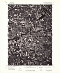
1975 · Wisconsin Dells SE
USGS Topo · 1:24,000
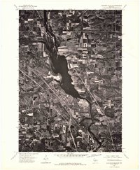
1975 · Wisconsin Dells NE
USGS Topo · 1:24,000