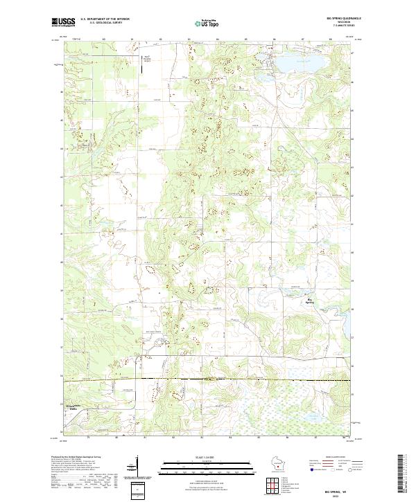
2022 Map of Big Spring
USGS Topo · Published 2022About this map
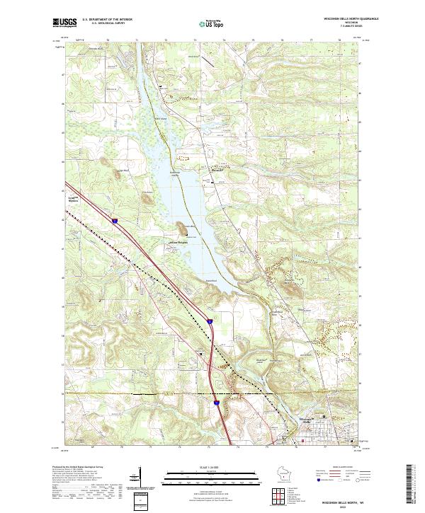
Big Spring serves as a focal point for this landscape along the border of Adams and Columbia counties. The terrain is defined by a dense network of small waterways including Corning Cr, Shadduck Cr, and Gulch Cr, which feed into larger bodies such as Jordan Lake and Weeting Lake. The settlement patterns here reflect a mix of rural infrastructure and recreational geography, anchored by New Christ Church and the uniquely named Polish Paradise Airport.
Find a feature on this map
50 named features on this map. Tap any name to fly to it.
Don’t see what you’re looking for? This feature index may not catch every label — zoom into the map to look around manually.
Map Details
Editions of this 2022 Big Spring Map
This is the sole edition of this map. No revisions or reprints were ever made.
Historical Maps of Newport Through Time
14 maps found
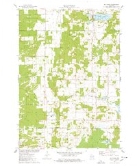
1967 Arkdale NE
Adams County, WI

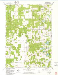
1967 Roche A Cri
Adams County, WI
1968 Coloma NW
Adams County, WI
1968 Coloma SW
Adams County, WI
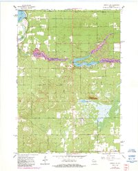
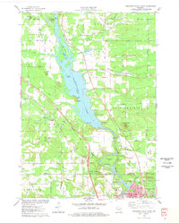
1975 Big Spring
Adams County, WI
1975 Wisconsin Dells North
Adams County, WI
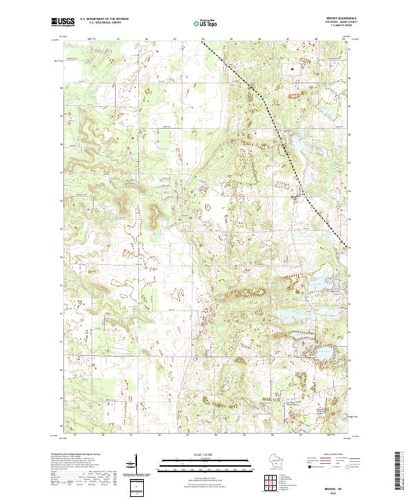
1979 Brooks
Adams County, WI
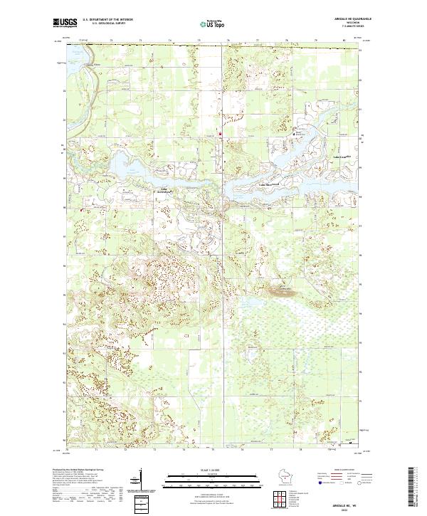
2022 Arkdale NE
Adams County, WI
2022 Big Spring
Adams County, WI
2022 Brooks
Adams County, WI
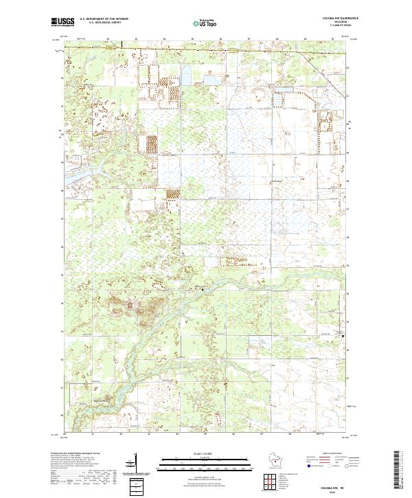
2022 Coloma NW
Adams County, WI
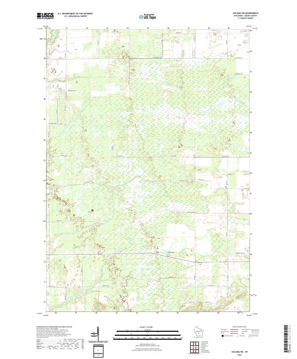
2022 Coloma SW
Adams County, WI
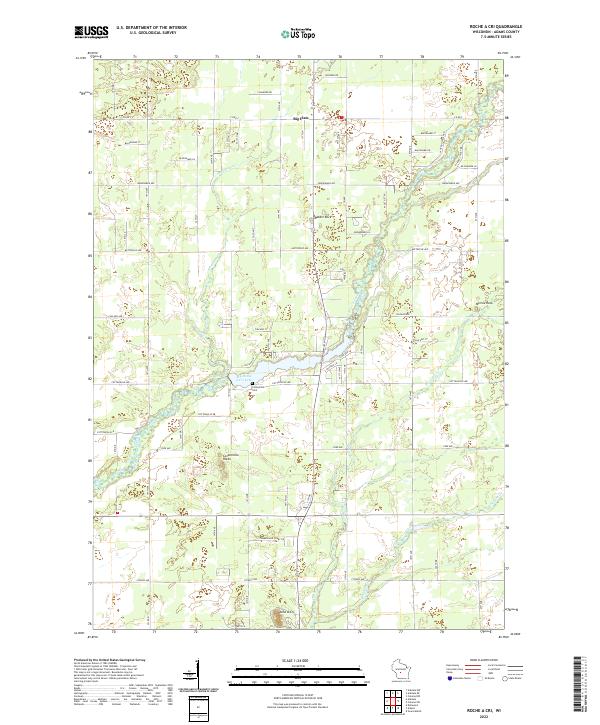
2022 Roche A Cri
Adams County, WI
2022 Wisconsin Dells North
Adams County, WI