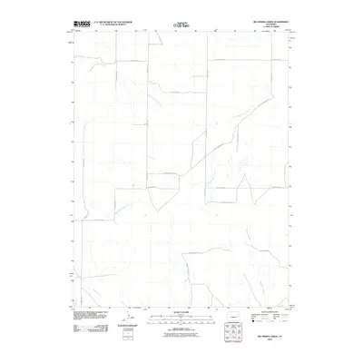
2010 Map of Big Spring Creek
USGS Topo · Published 2010About this map
Big Spring Creek and its tributaries define the drainage patterns across this section of Cheyenne County, Colorado. The landscape is characterized by a sparse, grid-like network of rural transit lines, including County Road GG and County Road FF, which intersect the intermittent watercourses. The hydrology is dominated by the East Branch Spring Creek in the central portion of the map and Pass Creek in the southwest corner. This 2010 digital survey captures a region of the High Plains where modern land management is reflected in the rigid section-line road system, such as County Road E and County Road F. The absence of dense settlements highlights the rural, open-range nature of the terrain at the beginning of the 21st century.
Find a feature on this map
17 named features on this map. Tap any name to fly to it.
Don’t see what you’re looking for? This feature index may not catch every label — zoom into the map to look around manually.
Map Details
Editions of this 2010 Big Spring Creek Map
This is the sole edition of this map. No revisions or reprints were ever made.
Other maps of this area

1891 · Arroyo
USGS Topo · 1:125,000

1891 · Kit Carson
USGS Topo · 1:125,000

1893 · Arroyo
USGS Topo · 1:125,000

1893 · Kit Carson
USGS Topo · 1:125,000

1954 · Limon
USGS Topo · 1:250,000

1954 · Lamar
USGS Topo · 1:250,000

1957 · Limon
USGS Topo · 1:250,000

1958 · Limon
USGS Topo · 1:250,000

1958 · Lamar
USGS Topo · 1:250,000

1978 · Sanders Ranch
USGS Topo · 1:24,000