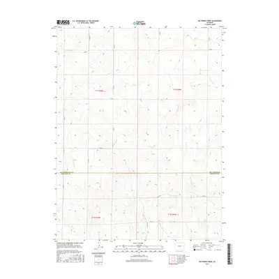
2016 Map of Big Spring Creek
USGS Topo · Published 2016About this map
High plains drainage systems define this section of the Colorado borderlands, where the land transition between Kit Carson and Cheyenne counties is marked by the course of Big Spring Cr. The terrain is shaped by the subtle valleys of the E Br Spring Cr and Pass Cr, which cut through a landscape organized by the Public Land Survey System. A rigid grid of rural corridors, including Co Rd A and Co Rd 10, facilitates movement across this open country, reflecting the large-scale agricultural and ranching operations of the modern era. The survey captures the intersection of several townships, including t11s r50w and t12s r49w, providing a clear look at the jurisdictional boundaries and water resources vital to the High Plains region.
Find a feature on this map
20 named features on this map. Tap any name to fly to it.
Don’t see what you’re looking for? This feature index may not catch every label — zoom into the map to look around manually.
Map Details
Editions of this 2016 Big Spring Creek Map
This is the sole edition of this map. No revisions or reprints were ever made.
Other maps of this area

1891 · Arroyo
USGS Topo · 1:125,000

1891 · Kit Carson
USGS Topo · 1:125,000

1893 · Arroyo
USGS Topo · 1:125,000

1893 · Kit Carson
USGS Topo · 1:125,000

1954 · Limon
USGS Topo · 1:250,000

1954 · Lamar
USGS Topo · 1:250,000

1957 · Limon
USGS Topo · 1:250,000

1958 · Limon
USGS Topo · 1:250,000

1958 · Lamar
USGS Topo · 1:250,000

1978 · Sanders Ranch
USGS Topo · 1:24,000