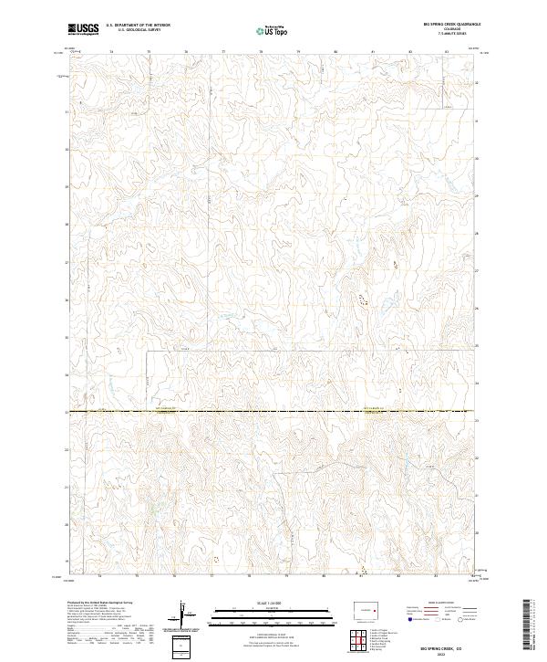
2022 Map of Big Spring Creek
USGS Topo · Published 2022About this map
The county line between Kit Carson Co and Cheyenne Co bisects this high plains landscape, defining the administrative boundary within the Colorado interior. This area is characterized by the subtle drainage patterns of Big Spring Cr, which flows northward through the eastern portion of the sheet. The terrain is further etched by E Br Spring Cr and Pass Cr, highlighting the intermittent watercourses that shape the local topography. This modern survey illustrates a strictly grid-based rural infrastructure, where a network of section-line roads such as Co Rd 8, Co Rd A, and Co Rd FF provide the primary access through large agricultural tracts. The scarcity of named structures or town sites underscores the predominantly open, ranching-oriented character of the region during this period.
Find a feature on this map
20 named features on this map. Tap any name to fly to it.
Don’t see what you’re looking for? This feature index may not catch every label — zoom into the map to look around manually.
Map Details
Editions of this 2022 Big Spring Creek Map
This is the sole edition of this map. No revisions or reprints were ever made.
Other maps of this area

1891 · Arroyo
USGS Topo · 1:125,000

1891 · Kit Carson
USGS Topo · 1:125,000

1893 · Arroyo
USGS Topo · 1:125,000

1893 · Kit Carson
USGS Topo · 1:125,000

1954 · Limon
USGS Topo · 1:250,000

1954 · Lamar
USGS Topo · 1:250,000

1957 · Limon
USGS Topo · 1:250,000

1958 · Limon
USGS Topo · 1:250,000

1958 · Lamar
USGS Topo · 1:250,000

1978 · Sanders Ranch
USGS Topo · 1:24,000