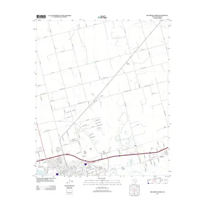
2012 Map of Big Spring North
USGS Topo · Published 2012About this map
The Big Spring Oil Field anchors the northern reaches of this West Texas landscape, illustrating the enduring intersection of energy production and rural land use. The topography is defined by the drainage networks of Beals Cr and Big Spring Draw, which converge near the southern edge of the survey. The transition from industrial infrastructure to educational and civic centers is evident near Howard Coll, situated alongside the residential developments of Midway and Ziler. Local history and genealogy are preserved at Mt Olive Cem, while the natural features of Gold Hill and Onemile Lake provide clear landmarks within the expansive network of county roads. The prominence of Refinery Lake underscores the area's economic focus on processing, connected by historical routes like the Old Colorado City Hwy.
Find a feature on this map
140 named features on this map. Tap any name to fly to it.
Don’t see what you’re looking for? This feature index may not catch every label — zoom into the map to look around manually.
Map Details
Editions of this 2012 Big Spring North Map
This is the sole edition of this map. No revisions or reprints were ever made.
Other maps of this area

1941 · Morita
USGS Topo · 1:62,500

1941 · Big Spring South
USGS Topo · 1:62,500

1942 · Big Spring South
USGS Topo · 1:62,500

1942 · Big Spring North
USGS Topo · 1:62,500

1949 · Morita
USGS Topo · 1:62,500

1954 · Big Spring
USGS Topo · 1:250,000

1954 · Big Spring North
USGS Topo · 1:24,000

1954 · Big Spring North NE
USGS Topo · 1:24,000

1958 · Big Spring
USGS Topo · 1:250,000

1965 · Big Spring North
USGS Topo · 1:24,000