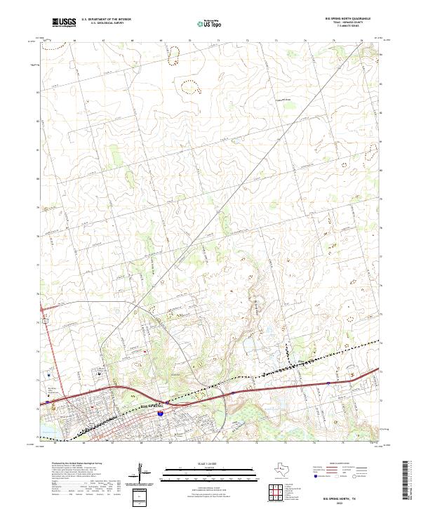
2022 Map of Big Spring North
USGS Topo · Published 2022About this map
Big Spring anchors the lower portion of this survey, where the urban grid meets the West Texas desert landscape. The town's institutional history is well-represented by the expansive grounds of the Big Spring State Hospital and Howard College, while local genealogy is rooted at Mount Olive Cem and the Hospital Cem. This area is defined by its drainage systems, with Beals Cr flowing near the city center and several prominent seasonal waterways, including Big Sandy Draw, Little Sandy Draw, and Coahoma Draw, carving paths across the plains to the north.
Find a feature on this map
129 named features on this map. Tap any name to fly to it.
Don’t see what you’re looking for? This feature index may not catch every label — zoom into the map to look around manually.
Map Details
Editions of this 2022 Big Spring North Map
This is the sole edition of this map. No revisions or reprints were ever made.
Other maps of this area

1941 · Morita
USGS Topo · 1:62,500

1941 · Big Spring South
USGS Topo · 1:62,500

1942 · Big Spring South
USGS Topo · 1:62,500

1942 · Big Spring North
USGS Topo · 1:62,500

1949 · Morita
USGS Topo · 1:62,500

1954 · Big Spring
USGS Topo · 1:250,000

1954 · Big Spring North
USGS Topo · 1:24,000

1954 · Big Spring North NE
USGS Topo · 1:24,000

1958 · Big Spring
USGS Topo · 1:250,000

1965 · Big Spring North
USGS Topo · 1:24,000