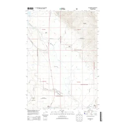
2013 Map of Big Springs
USGS Topo · Published 2013About this map
Henrys Fork snakes southward through this high mountain plateau, anchoring a landscape defined by the expansive waters of Henrys Lake and the eastern slopes of the Henrys Lake Mountains. The drainage patterns here are intricate, with numerous seasonal and perennial flows like Thirsty Cr, Enget Cr, and Sawtell Cr feeding the river system that sustains the region's diverse ecology. These water resources formed the basis for the recreational and agricultural development of the area, as evidenced by the modern layout of the Island Park Golf Course and the surrounding resort infrastructure.
Find a feature on this map
56 named features on this map. Tap any name to fly to it.
Don’t see what you’re looking for? This feature index may not catch every label — zoom into the map to look around manually.
Map Details
Editions of this 2013 Big Springs Map
This is the sole edition of this map. No revisions or reprints were ever made.
Other maps of this area

1955 · Ashton
USGS Topo · 1:250,000

1957 · Buffalo Lake
USGS Topo · 1:62,500

1958 · Ashton
USGS Topo · 1:250,000

1958 · West Yellowstone
USGS Topo · 1:62,500

1960 · Ashton
USGS Topo · 1:250,000

1964 · Island Park
USGS Topo · 1:24,000

1964 · Island Park Dam
USGS Topo · 1:24,000

1964 · Targhee Pass
USGS Topo · 1:24,000

1964 · Targhee Peak
USGS Topo · 1:24,000

1964 · Sawtell PK
USGS Topo · 1:24,000