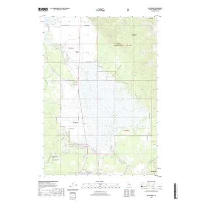
2020 Map of Big Springs
USGS Topo · Published 2020About this map
Island Park and the headwaters of the Henrys Fork anchor this high-country landscape within the Targhee National Forest. The map illustrates a complex network of seasonal access roads and trails, such as the Valley View Trail and Aspen Loop Trail, which weave through the Henrys Lake Mountains and past prominent landmarks like Mt Two Top. The topography is defined by the transition from the broad Henrys Lake Flat to the dramatic heights of Sawtell Peak and the deep incisions of Garner Canyon. Local land use is highlighted by properties like the Mickelson Ranch and Orme Ranch, while recreational and residential pockets are visible at Stamp Meadows and near the historic Big Springs area. This survey provides an exact record of the forest service and local road infrastructure, including North Fork Club Rd and Old US Hwy 191, as they serve the modern-day community.
Find a feature on this map
67 named features on this map. Tap any name to fly to it.
Don’t see what you’re looking for? This feature index may not catch every label — zoom into the map to look around manually.
Map Details
Editions of this 2020 Big Springs Map
This is the sole edition of this map. No revisions or reprints were ever made.
Other maps of this area

1955 · Ashton
USGS Topo · 1:250,000

1957 · Buffalo Lake
USGS Topo · 1:62,500

1958 · Ashton
USGS Topo · 1:250,000

1958 · West Yellowstone
USGS Topo · 1:62,500

1960 · Ashton
USGS Topo · 1:250,000

1964 · Island Park
USGS Topo · 1:24,000

1964 · Island Park Dam
USGS Topo · 1:24,000

1964 · Targhee Pass
USGS Topo · 1:24,000

1964 · Targhee Peak
USGS Topo · 1:24,000

1964 · Sawtell PK
USGS Topo · 1:24,000