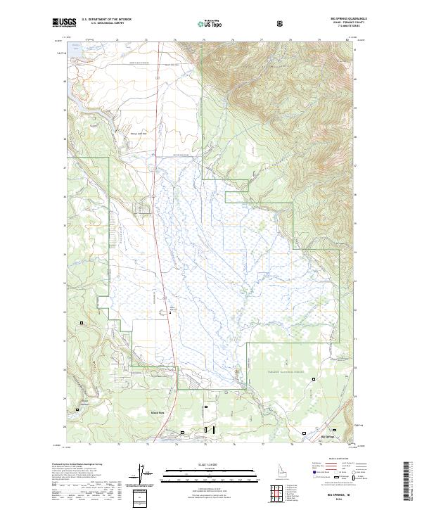
2024 Map of Big Springs
USGS Topo · Published 2024About this map
Henrys Fork snakes through the high-elevation wetlands of this Idaho landscape, providing a critical waterway for the burgeoning settlement at Island Park. The map documents a territory defined by its transition from the shores of Henrys Lake in the northwest to the dense timber of Targhee National Forest in the south. The concentration of ranching and early community development is visible through sites like Mickelson Ranch and Orme Ranch, alongside the Island Park Cem, which serves as a vital marker for local genealogical research.
Find a feature on this map
75 named features on this map. Tap any name to fly to it.
Don’t see what you’re looking for? This feature index may not catch every label — zoom into the map to look around manually.
Map Details
Editions of this 2024 Big Springs Map
This is the sole edition of this map. No revisions or reprints were ever made.
Other maps of this area

1955 · Ashton
USGS Topo · 1:250,000

1957 · Buffalo Lake
USGS Topo · 1:62,500

1958 · Ashton
USGS Topo · 1:250,000

1958 · West Yellowstone
USGS Topo · 1:62,500

1960 · Ashton
USGS Topo · 1:250,000

1964 · Island Park
USGS Topo · 1:24,000

1964 · Island Park Dam
USGS Topo · 1:24,000

1964 · Targhee Pass
USGS Topo · 1:24,000

1964 · Targhee Peak
USGS Topo · 1:24,000

1964 · Sawtell PK
USGS Topo · 1:24,000