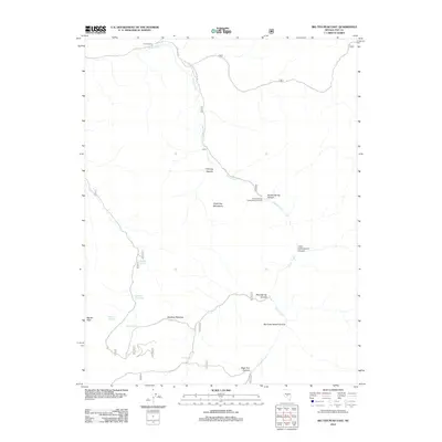
2012 Map of Big Ten Peak East
USGS Topo · Published 2012About this map
Hunts Ranch and the small settlement of Kiney sit at the center of this high-desert landscape, where seasonal drainages and vital water sources dictate the patterns of human presence. The topography is dominated by the McKinney Mountains and the heights of Big Ten Peak, with deep erosional features like Chimney Canyon and Big Cottonwood Canyon carving through the terrain. Evidence of regional management and resource access is seen in the Hunts Canyon Forest Service Facility and the network of National Forest Development Roads.
Find a feature on this map
20 named features on this map. Tap any name to fly to it.
Don’t see what you’re looking for? This feature index may not catch every label — zoom into the map to look around manually.
Map Details
Editions of this 2012 Big Ten Peak East Map
This is the sole edition of this map. No revisions or reprints were ever made.
Other maps of this area

1956 · Tonopah
USGS Topo · 1:250,000

1959 · Tonopah
USGS Topo · 1:250,000

1962 · Tonopah
USGS Topo · 1:250,000

1971 · Belmont East
USGS Topo · 1:24,000

1971 · Antelope Spring
USGS Topo · 1:24,000
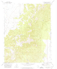
1971 · Elkhorn Canyon
USGS Topo · 1:24,000
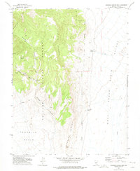
1971 · Georges Canyon Rim
USGS Topo · 1:24,000

1971 · Belmont West
USGS Topo · 1:24,000

1971 · Saulsbury Basin
USGS Topo · 1:24,000
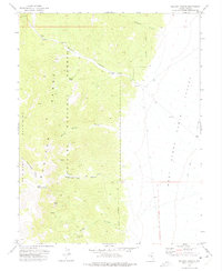
1971 · McCann Canyon
USGS Topo · 1:24,000