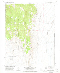
1971 Map of Georges Canyon Rim
USGS Topo · Published 1975About this map
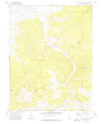
The high desert terrain of the Monitor Range dominates this 1971 survey, where the rugged peaks of the Toiyabe National Forest drop sharply into Stone Cabin Valley. Water is the primary driver of human activity here, evidenced by a network of isolated water sources such as Kennison Spring, Georges Spring, and Warm Spring. A lone Fancher Cabin and a marked Corral suggest a history of seasonal ranching or grazing within the higher elevations of Georges Canyon. Below the towering Georges Canyon Rim, the landscape reveals traces of earlier habitation and industry, including unnamed Ruins in the foothills and scattered Prospects near Kellys Mine Canyon. The eastern expanse transitions into the flat, arid floor of the valley, drained by the seasonal course of Willow Creek.
Find a feature on this map
21 named features on this map. Tap any name to fly to it.
Don’t see what you’re looking for? This feature index may not catch every label — zoom into the map to look around manually.
Map Details
Editions of this 1971 Georges Canyon Rim Map
This is the sole edition of this map. No revisions or reprints were ever made.
Other maps of this area

1956 · Tonopah
USGS Topo · 1:250,000

1959 · Tonopah
USGS Topo · 1:250,000

1962 · Tonopah
USGS Topo · 1:250,000
1971 · Georges Canyon Rim SE
USGS Topo · 1:24,000
1971 · McIntyre Summit
USGS Topo · 1:24,000

1971 · Saulsbury Basin
USGS Topo · 1:24,000
1971 · McCann Canyon
USGS Topo · 1:24,000
1971 · Big Ten Peak East
USGS Topo · 1:24,000

1986 · Stone Cabin Ranch
USGS Topo · 1:24,000
1986 · Stone Cabin Ranch NE
USGS Topo · 1:24,000