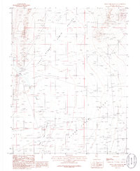
1986 Map of Stone Cabin Ranch NE
USGS Topo · Published 1986About this map
Stone Cabin Valley dominates this 1980s landscape in Nye County, showing a vast Great Basin interior before modern expansion altered the character of its open ranges. The terrain is defined by the ephemeral path of Stone Cabin Creek, which winds through the valley floor, providing a vital hydrological reference point in this arid environment. A solitary Radio Tower stands as a notable landmark of mid-century infrastructure, while several Prospects in the northeast corner signal the area's history of mineral exploration. This provisional map, compiled from 1980 aerial photography, captures the network of unimproved roads and trails used by ranchers and surveyors during a period when these desert valleys remained largely undeveloped and quiet.
Find a feature on this map
4 named features on this map. Tap any name to fly to it.
Don’t see what you’re looking for? This feature index may not catch every label — zoom into the map to look around manually.
Map Details
Editions of this 1986 Stone Cabin Ranch NE Map
This is the sole edition of this map. No revisions or reprints were ever made.
Other maps of this area

1956 · Tonopah
USGS Topo · 1:250,000

1959 · Tonopah
USGS Topo · 1:250,000

1962 · Tonopah
USGS Topo · 1:250,000

1968 · Tybo
USGS Topo · 1:62,500

1968 · Warm Springs
USGS Topo · 1:62,500
1968 · Warm Springs NW
USGS Topo · 1:24,000
1968 · Bellehelen
USGS Topo · 1:24,000
1968 · Tybo
USGS Topo · 1:24,000
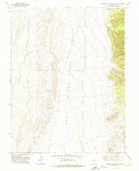
1971 · Georges Canyon Rim SE
USGS Topo · 1:24,000
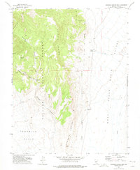
1971 · Georges Canyon Rim
USGS Topo · 1:24,000