
1986 Map of Stone Cabin Ranch
USGS Topo · Published 1986About this map
Stone Cabin Valley serves as the central corridor for this 1980s landscape, flanked by the high elevations of the Monitor Range and the Toiyabe National Forest. The map centers on the namesake Stone Cabin Ranch, a critical remote outpost in this arid terrain. Life in this part of Nye County is dictated by geography and water access, evidenced by the scattered water sources such as Fourmile Spring and Fivemile Spring that provide relief from the surrounding basin.
Find a feature on this map
12 named features on this map. Tap any name to fly to it.
Don’t see what you’re looking for? This feature index may not catch every label — zoom into the map to look around manually.
Map Details
Editions of this 1986 Stone Cabin Ranch Map
This is the sole edition of this map. No revisions or reprints were ever made.
Other maps of this area

1956 · Tonopah
USGS Topo · 1:250,000

1959 · Tonopah
USGS Topo · 1:250,000

1962 · Tonopah
USGS Topo · 1:250,000
1971 · Georges Canyon Rim SE
USGS Topo · 1:24,000
1971 · Georges Canyon Rim
USGS Topo · 1:24,000

1971 · Saulsbury Basin
USGS Topo · 1:24,000
1986 · Stone Cabin Ranch NE
USGS Topo · 1:24,000
1986 · Mud Spring
USGS Topo · 1:24,000
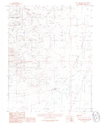
1986 · Stone Cabin Ranch SW
USGS Topo · 1:24,000
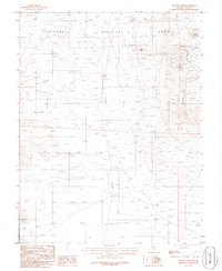
1986 · Yellow Cone
USGS Topo · 1:24,000