
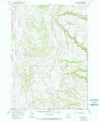
1966 Map of Big Trails
USGS Topo · Published 1970About this map
Nowood River and the Little Nowood River converge in this high-plains landscape, where ranching and water management define the settlement pattern. The tiny community at Big Trails Ch serves as a lonely landmark in a terrain carved by Red Gulch and Dry Gulch. This 1966 survey documents the infrastructure of the grazing economy, most notably the Big Trails Stock Drive Road, which follows the natural corridors between the foothills. Significant water features like the Need Water Reservoir and the perennial flow from Big Spring illustrate the critical importance of reliable water sources in this arid part of Washakie County. Further north, the drainage network of Otter Creek splits into its North Fork and South Fork, creating a rugged topography navigated by the Vee Road and numerous jeep trails.
Find a feature on this map
23 named features on this map. Tap any name to fly to it.
Don’t see what you’re looking for? This feature index may not catch every label — zoom into the map to look around manually.
Map Details
Editions of this 1966 Big Trails Map
2 editions found
Other maps of this area

1955 · Arminto
USGS Topo · 1:250,000

1958 · Arminto
USGS Topo · 1:250,000

1962 · Arminto
USGS Topo · 1:250,000

1966 · Monument Hill
USGS Topo · 1:24,000

1966 · Big Trails NE
USGS Topo · 1:24,000
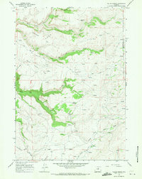
1966 · Tallon Spring
USGS Topo · 1:24,000

1966 · Indian Creek
USGS Topo · 1:24,000
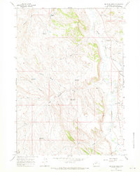
1966 · Joe Emge Creek
USGS Topo · 1:24,000

1967 · Mahogany Butte
USGS Topo · 1:24,000

1967 · Horse Butte
USGS Topo · 1:24,000