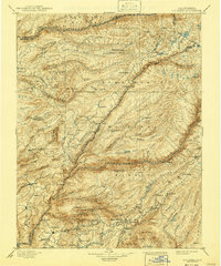
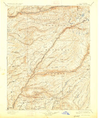
1901 Map of Big Trees
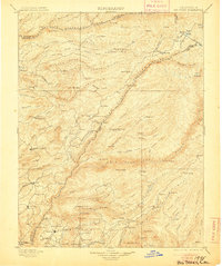
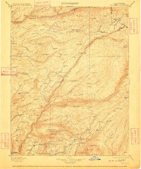
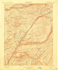
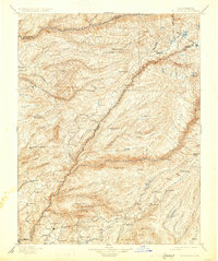
USGS Topo · Published 1941About this map
The North Fork Stanislaus River and the North Fork Mokelumne River carve through this section of the Sierra Nevada, defining a landscape dominated by the Stanislaus National Forest and El Dorado National Forest. Recorded during surveys in 1890-91, the map reveals a rugged mining and timber economy at the turn of the century. Notable concentrations of activity appear at Columbia, Murphy, and Douglas Flat, where water-dependent industries relied on the steep river forks.
Find a feature on this map
117 named features on this map. Tap any name to fly to it.
Don’t see what you’re looking for? This feature index may not catch every label — zoom into the map to look around manually.
Map Details
Editions of this 1901 Big Trees Map
9 editions found


Other maps of this area

1889 · Jackson
USGS Topo · 1:125,000

1889 · Pyramid Peak
USGS Topo · 1:125,000

1889 · Markleeville
USGS Topo · 1:125,000

1891 · Markleeville
USGS Topo · 1:125,000

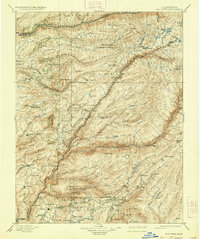
1891 · Big Trees
USGS Topo · 1:125,000

1891 · Placerville
USGS Topo · 1:125,000

1891 · Pyramid Peak
USGS Topo · 1:125,000

1892 · Jackson
USGS Topo · 1:125,000

1892 · Placerville
USGS Topo · 1:125,000

1893 · Markleeville
USGS Topo · 1:125,000