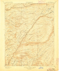
1901 Map of Big Trees
USGS Topo · Published 1905About this map
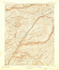
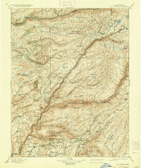
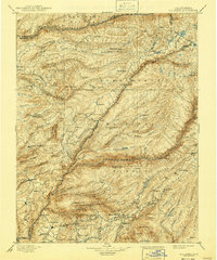
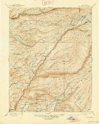
Calaveras Grove and the surrounding Sierra Nevada foothills define this 1890s survey, capturing the region's early transition from a gold-rush economy to one of timber and tourism. The landscape is dominated by the deep canyons of the North Fork Mokelumne River and the North Fork Stanislaus River, where remote settlements like Sheep Ranch and Swiss Ranch sit near mining operations such as the Keltz Mine.
Find a feature on this map
143 named features on this map. Tap any name to fly to it.
Don’t see what you’re looking for? This feature index may not catch every label — zoom into the map to look around manually.
Map Details
Editions of this 1901 Big Trees Map
9 editions found

Other maps of this area

1889 · Jackson
USGS Topo · 1:125,000

1889 · Pyramid Peak
USGS Topo · 1:125,000

1889 · Markleeville
USGS Topo · 1:125,000

1891 · Markleeville
USGS Topo · 1:125,000

1891 · Big Trees
USGS Topo · 1:125,000

1891 · Placerville
USGS Topo · 1:125,000

1891 · Pyramid Peak
USGS Topo · 1:125,000

1892 · Jackson
USGS Topo · 1:125,000

1892 · Placerville
USGS Topo · 1:125,000

1893 · Markleeville
USGS Topo · 1:125,000