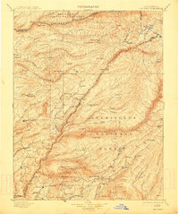
1901 Map of Big Trees
USGS Topo · Published 1914About this map
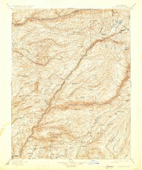
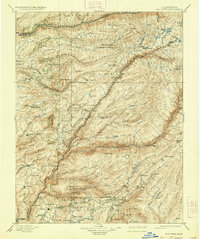
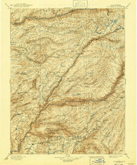
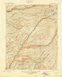
The Mokelumne River and its various forks carve through this section of the Sierra Nevada, defining a landscape of deep canyons and timber-rich ridges at the turn of the century. This survey documents the region's transition from the gold-rush era to an economy centered on lumber and early tourism, particularly around the Calaveras Big Trees. The map captures several iconic mining-era settlements including Columbia, Murphy, and Vallecito, which served as hubs for the surrounding claims and camps.
Find a feature on this map
122 named features on this map. Tap any name to fly to it.
Don’t see what you’re looking for? This feature index may not catch every label — zoom into the map to look around manually.
Map Details
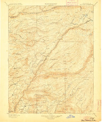
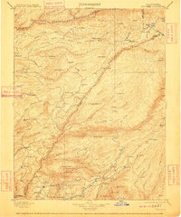
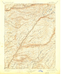
Editions of this 1901 Big Trees Map
9 editions found

Other maps of this area

1889 · Jackson
USGS Topo · 1:125,000

1889 · Pyramid Peak
USGS Topo · 1:125,000

1889 · Markleeville
USGS Topo · 1:125,000

1891 · Markleeville
USGS Topo · 1:125,000

1891 · Big Trees
USGS Topo · 1:125,000

1891 · Placerville
USGS Topo · 1:125,000

1891 · Pyramid Peak
USGS Topo · 1:125,000

1892 · Jackson
USGS Topo · 1:125,000

1892 · Placerville
USGS Topo · 1:125,000

1893 · Markleeville
USGS Topo · 1:125,000