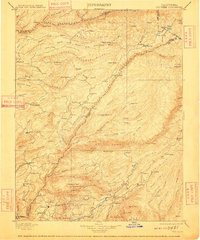
1901 Map of Big Trees
USGS Topo · Published 1909About this map
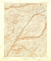
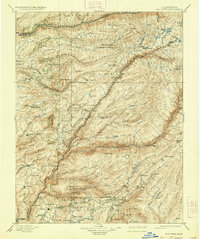
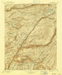
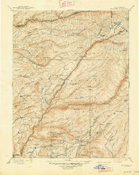
Calaveras Grove and the Calaveras Big Trees South Grove anchor this turn-of-the-century topographic study, showcasing the high-elevation forests and gold-country drainages of the Sierra Nevada. The landscape is defined by the deep canyons of the North Fork Mokelumne River and its sister forks, where early settlement was driven by mining and timber. Dozens of small camps and family-named homesteads like Sprague, Greve, and Dunbar appear alongside industrial outposts such as Riverside Mine and Beltz Mine.
Find a feature on this map
142 named features on this map. Tap any name to fly to it.
Don’t see what you’re looking for? This feature index may not catch every label — zoom into the map to look around manually.
Map Details
Editions of this 1901 Big Trees Map
9 editions found

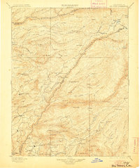
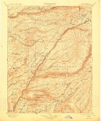
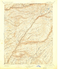
Other maps of this area

1889 · Jackson
USGS Topo · 1:125,000

1889 · Pyramid Peak
USGS Topo · 1:125,000

1889 · Markleeville
USGS Topo · 1:125,000

1891 · Markleeville
USGS Topo · 1:125,000

1891 · Big Trees
USGS Topo · 1:125,000

1891 · Placerville
USGS Topo · 1:125,000

1891 · Pyramid Peak
USGS Topo · 1:125,000

1892 · Jackson
USGS Topo · 1:125,000

1892 · Placerville
USGS Topo · 1:125,000

1893 · Markleeville
USGS Topo · 1:125,000