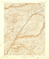
1901 Map of Big Trees
USGS Topo · Published 1931About this map
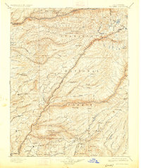
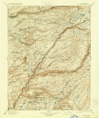
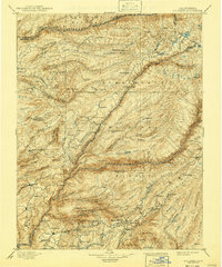
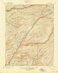
Calaveras Grove and the Calaveras Big Trees (South Grove) anchor this 1890s survey of the central Sierra Nevada, documenting a landscape defined by deep river canyons and early pioneer routes. The terrain is bifurcated by the massive drainages of the North Fork Mokelumne River and the Middle Fork Stanislaus River, where transit relied on historic river crossings like Parrott Ferry, Abbott Ferry, and Bakers Crossing. Small settlements and industrial outposts, including Sheep Ranch and the Riverside Mine, appear alongside remote family-named locations such as Swiss Ranch and Walker. The map also captures the early infrastructure of the gold and timber era at Italian Bar and American Camp, while the Bloods Toll station suggests the economic reality of mountain travel before the development of modern highway systems.
Find a feature on this map
119 named features on this map. Tap any name to fly to it.
Don’t see what you’re looking for? This feature index may not catch every label — zoom into the map to look around manually.
Map Details
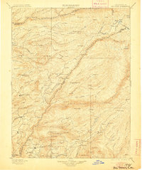
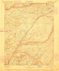
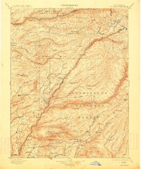
Editions of this 1901 Big Trees Map
9 editions found

Other maps of this area

1889 · Jackson
USGS Topo · 1:125,000

1889 · Pyramid Peak
USGS Topo · 1:125,000

1889 · Markleeville
USGS Topo · 1:125,000

1891 · Markleeville
USGS Topo · 1:125,000

1891 · Big Trees
USGS Topo · 1:125,000

1891 · Placerville
USGS Topo · 1:125,000

1891 · Pyramid Peak
USGS Topo · 1:125,000

1892 · Jackson
USGS Topo · 1:125,000

1892 · Placerville
USGS Topo · 1:125,000

1893 · Markleeville
USGS Topo · 1:125,000