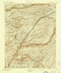
1901 Map of Big Trees
USGS Topo · Published 1937About this map
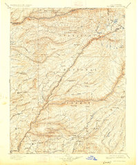
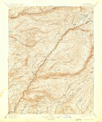
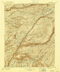
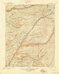
The Mokelumne River and Middle Fork Stanislaus River carve through this high Sierra landscape, which was surveyed at the close of the 19th century. The terrain is defined by the legacy of early California industry and the nascent conservation movement, notably protecting the Calaveras Grove and Calaveras Big Trees South Grove. While vast reaches are designated as the Eldorado National Forest and Stanislaus National Forest, human activity is pervasive along the river canyons and ridges. Small settlements and specialized camps such as Swiss Ranch, Sheep Ranch, and American Camp indicate a landscape populated by miners and ranchers. The mapping of infrastructure like Parrott Ferry, Abbott Ferry, and Bloods Toll highlights the challenging transit routes of the era, while the Keltz Mine and Riverside Mine mark the persistent search for mineral wealth near the Fivemile creek drainage.
Find a feature on this map
128 named features on this map. Tap any name to fly to it.
Don’t see what you’re looking for? This feature index may not catch every label — zoom into the map to look around manually.
Map Details
Editions of this 1901 Big Trees Map
9 editions found

Other maps of this area

1889 · Jackson
USGS Topo · 1:125,000

1889 · Pyramid Peak
USGS Topo · 1:125,000

1889 · Markleeville
USGS Topo · 1:125,000

1891 · Markleeville
USGS Topo · 1:125,000

1891 · Big Trees
USGS Topo · 1:125,000

1891 · Placerville
USGS Topo · 1:125,000

1891 · Pyramid Peak
USGS Topo · 1:125,000

1892 · Jackson
USGS Topo · 1:125,000

1892 · Placerville
USGS Topo · 1:125,000

1893 · Markleeville
USGS Topo · 1:125,000