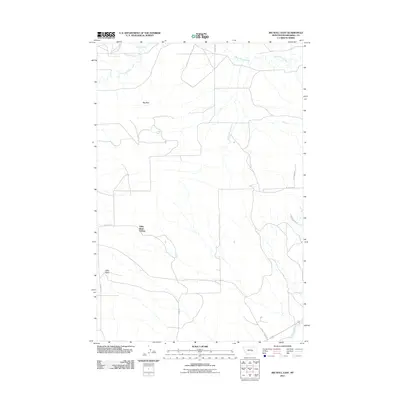
2011 Map of Big Wall East
USGS Topo · Published 2011About this map
Kilby Butte Colony serves as a primary point of human settlement in this section of Musselshell County, positioned within a landscape defined by the prominent Big Wall escarpment. The drainage patterns are established by North Willow Creek and Crooked Creek in the north, while the Musselshell River cuts through the southeastern corner. This 2011 survey reflects a rural infrastructure of local routes including N Gage Rd and Allen Rd, which connect the isolated topographic features like Kilby Butte to the wider region. The arrangement of trails such as Shepherder Trl and Buckhorn Dr suggests a land use rooted in traditional Montana ranching and livestock movement through the coulees and open range.
Find a feature on this map
12 named features on this map. Tap any name to fly to it.
Don’t see what you’re looking for? This feature index may not catch every label — zoom into the map to look around manually.
Map Details
Editions of this 2011 Big Wall East Map
This is the sole edition of this map. No revisions or reprints were ever made.
Other maps of this area

1954 · Roundup
USGS Topo · 1:250,000

1958 · Roundup
USGS Topo · 1:250,000

1963 · Musselshell NW
USGS Topo · 1:24,000

1963 · Delphia
USGS Topo · 1:24,000

1979 · Roundup
USGS Topo · 1:100,000

1979 · Gage NE
USGS Topo · 1:24,000

1979 · Chimney Butte
USGS Topo · 1:24,000

1979 · Gage
USGS Topo · 1:24,000

1986 · Big Wall West
USGS Topo · 1:24,000

1986 · Big Wall NW
USGS Topo · 1:24,000