1963 Map of Musselshell NW
USGS Topo · Published 1966About this map
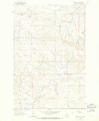
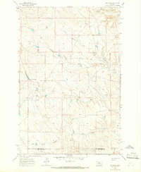
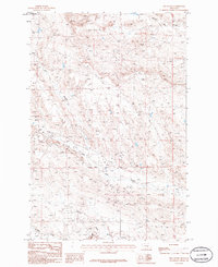
Howard Coulee and its many drainage branches carve through this high Montana landscape, revealing a mid-century period of energy exploration and cattle ranching. The map indicates a network of Oil Wells and a specific Oil Well scattered across the township lines of the T. 11 N. and T. 10 N. boundary. The hydrological system is well-defined by Willow Creek and North Willow Creek, alongside smaller drainages like Little Wall Creek. These water sources were vital for the homesteads and livestock operations that defined Musselshell County's economy. Traceable landmarks such as Haroldson Spring and several Gravel Pit sites provide clear reference points for local history researchers and those interested in the industrial footprint of the early 1960s.
Find a feature on this map
10 named features on this map. Tap any name to fly to it.
Don’t see what you’re looking for? This feature index may not catch every label — zoom into the map to look around manually.
Map Details
Editions of this 1963 Musselshell NW Map
This is the sole edition of this map. No revisions or reprints were ever made.
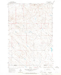
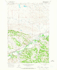
Other maps of this area

1954 · Roundup
USGS Topo · 1:250,000

1958 · Roundup
USGS Topo · 1:250,000
1963 · Kelley
USGS Topo · 1:24,000
1963 · Musselshell
USGS Topo · 1:24,000
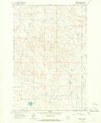
1963 · Akers Ranch
USGS Topo · 1:24,000
1963 · Mud Spring
USGS Topo · 1:24,000
1963 · Delphia
USGS Topo · 1:24,000
1986 · Crowley Dam
USGS Topo · 1:24,000
1986 · Big Wall East
USGS Topo · 1:24,000
1986 · Jim Coulee
USGS Topo · 1:24,000