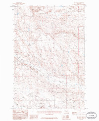
1986 Map of Jim Coulee
USGS Topo · Published 1986About this map
The county line between Petroleum Co and Musselshell Co bisects this landscape of drainage basins and industrial extraction. The terrain is defined by a series of steep coulees and creeks that flow toward the larger valley systems, including the prominent Jim Coulee in the northwest and Howard Coulee to the northeast. These natural features dictated the early movement of people and livestock through this portion of central Montana.
Find a feature on this map
8 named features on this map. Tap any name to fly to it.
Don’t see what you’re looking for? This feature index may not catch every label — zoom into the map to look around manually.
Map Details
Editions of this 1986 Jim Coulee Map
This is the sole edition of this map. No revisions or reprints were ever made.
Other maps of this area

1954 · Roundup
USGS Topo · 1:250,000

1958 · Roundup
USGS Topo · 1:250,000

1963 · Kelley
USGS Topo · 1:24,000

1963 · Musselshell NW
USGS Topo · 1:24,000

1963 · Delphia
USGS Topo · 1:24,000

1986 · Flatwillow
USGS Topo · 1:24,000

1986 · Crowley Dam
USGS Topo · 1:24,000

1986 · Big Wall West
USGS Topo · 1:24,000

1986 · Big Wall NW
USGS Topo · 1:24,000
1986 · Big Wall East
USGS Topo · 1:24,000