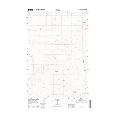
2014 Map of Big Wall East
USGS Topo · Published 2014About this map
Kilby Butte Colony serves as a primary point of interest in this eastern Montana landscape, situated near the distinctive rise of Kilby Butte. The map documents a territory defined by a blend of agricultural life and energy extraction, most notably the Big Wall Oil Field in the northwest. This industrial presence is contrasted by the natural course of the Musselshell River flowing through the southern edge of the quadrangle. A network of ranch roads and specialized trails, such as Shepherder Trl and Painted Horse Trl, suggests the historical and continued importance of livestock movements across these townships. Drainage systems like N Willow Cr and the topographical depression of Drum Gulch illustrate the drainage patterns toward the Musselshell valley, providing a clear look at the area's physical geography in the early twenty-first century.
Find a feature on this map
22 named features on this map. Tap any name to fly to it.
Don’t see what you’re looking for? This feature index may not catch every label — zoom into the map to look around manually.
Map Details
Editions of this 2014 Big Wall East Map
This is the sole edition of this map. No revisions or reprints were ever made.
Other maps of this area

1954 · Roundup
USGS Topo · 1:250,000

1958 · Roundup
USGS Topo · 1:250,000

1963 · Musselshell NW
USGS Topo · 1:24,000

1963 · Delphia
USGS Topo · 1:24,000

1979 · Roundup
USGS Topo · 1:100,000

1979 · Gage NE
USGS Topo · 1:24,000

1979 · Chimney Butte
USGS Topo · 1:24,000

1979 · Gage
USGS Topo · 1:24,000

1986 · Big Wall West
USGS Topo · 1:24,000

1986 · Big Wall NW
USGS Topo · 1:24,000