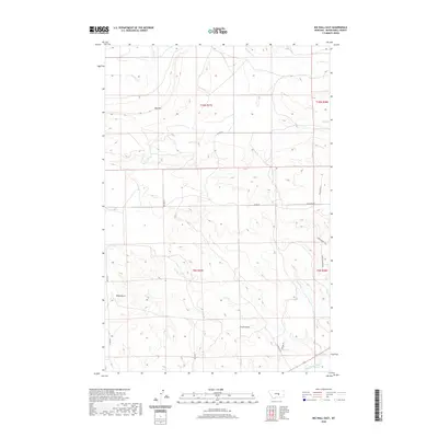
2020 Map of Big Wall East
USGS Topo · Published 2020About this map
Big Wall dominates the high ground in this section of Musselshell County, where the plains give way to distinct topographical features like Kilby Butte and the deep drainage of Drum Gulch. The landscape is defined by the winding course of the Musselshell River at the southern edge of the survey, a critical water source for the region's agricultural and ranching history. To the north, seasonal waterways including Crooked Cr and N Willow Cr carve through the terrain, illustrating the natural drainage patterns that have dictated land use for generations. A network of rural routes, including N Gage Rd and Painted Horse Trl, provide access to this isolated area, reflecting the enduring cattle-guard and ranch-road infrastructure typical of central Montana's high plains.
Find a feature on this map
19 named features on this map. Tap any name to fly to it.
Don’t see what you’re looking for? This feature index may not catch every label — zoom into the map to look around manually.
Map Details
Editions of this 2020 Big Wall East Map
This is the sole edition of this map. No revisions or reprints were ever made.
Other maps of this area

1954 · Roundup
USGS Topo · 1:250,000

1958 · Roundup
USGS Topo · 1:250,000

1963 · Musselshell NW
USGS Topo · 1:24,000

1963 · Delphia
USGS Topo · 1:24,000

1979 · Roundup
USGS Topo · 1:100,000

1979 · Gage NE
USGS Topo · 1:24,000

1979 · Chimney Butte
USGS Topo · 1:24,000

1979 · Gage
USGS Topo · 1:24,000

1986 · Big Wall West
USGS Topo · 1:24,000

1986 · Big Wall NW
USGS Topo · 1:24,000