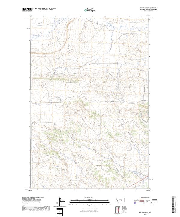
2024 Map of Big Wall East
USGS Topo · Published 2024About this map
Big Wall stands as the primary topographical landmark in this section of Musselshell County, defining the elevation patterns across the northern portion of the quadrangle. The drainage of North Willow Creek cuts through the northwest, while Drum Gulch provides further relief in the south-central territory. This landscape is primarily defined by its rural transit network, which reflects long-standing ranching and land use patterns through routes such as N Gage Rd and the evocatively named Sheepherder Trl. The survey details the township and range divisions of T10N R27E and T9N R27E, showing how property and access roads like Allen Rd and Patterson Rd align with the cardinal grid of the Big Sky country. The absence of concentrated settlements emphasizes the isolated, open character of this Montana rangeland near the transition of the Musselshell and Willow Creek watersheds.
Find a feature on this map
14 named features on this map. Tap any name to fly to it.
Don’t see what you’re looking for? This feature index may not catch every label — zoom into the map to look around manually.
Map Details
Editions of this 2024 Big Wall East Map
This is the sole edition of this map. No revisions or reprints were ever made.
Other maps of this area

1954 · Roundup
USGS Topo · 1:250,000

1958 · Roundup
USGS Topo · 1:250,000

1963 · Musselshell NW
USGS Topo · 1:24,000

1963 · Delphia
USGS Topo · 1:24,000

1979 · Roundup
USGS Topo · 1:100,000

1979 · Gage NE
USGS Topo · 1:24,000

1979 · Chimney Butte
USGS Topo · 1:24,000

1979 · Gage
USGS Topo · 1:24,000

1986 · Big Wall West
USGS Topo · 1:24,000

1986 · Big Wall NW
USGS Topo · 1:24,000